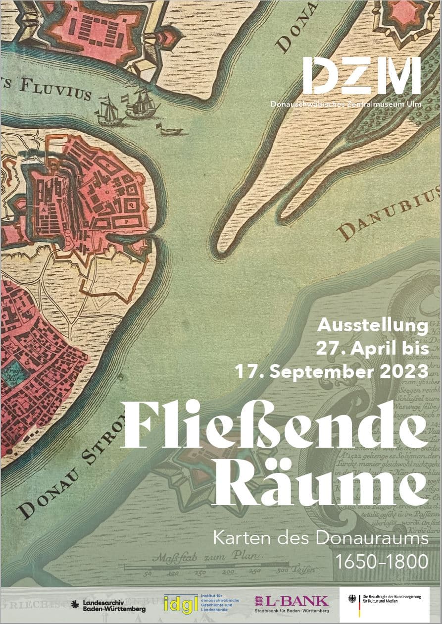
Flowing spaces
Maps of the Danube region 1650-1800
27.04.23 - 17.09.23


Danube – the creation of a spatial image
Even in ancient times, the Danube was regarded as a mythical river. Early modern maps tell us that the river connects two worlds: Occident and Orient, Europe and Asia. During the Turkish wars, the Danube became a bloodily contested border. From 1699/1718, there was a ‘Christian’ and an ‘Islamic’ Danube, a river of the Habsburgs and a river of the Ottomans. A permanently effective political and cultural fault line was created.
Cartographers explored the newly conquered territories and drew up maps. They were followed by scientists, who described the area and made a decisive contribution to its ‘invention’ through their works. Contemporaries realised that it was not only fertile soils and rich mineral resources, but also the many peoples who settled along the Danube and intertwined with each other that made up its essence.
In the mid-19th century, the Danube came to symbolise the cultural diversity of the state whose spatial backbone it formed – the Danube Monarchy. The great river coagulated into an image of the Danube region that is still effective today.
The exhibition is a joint project of the Institute for Danube Swabian History and Regional Studies (Tübingen) and the Baden-Württemberg State Archives (General State Archives Karlsruhe).